08S37 TL-1600,1700
Listed by: Baker City Realty, Inc. 541-523-5871
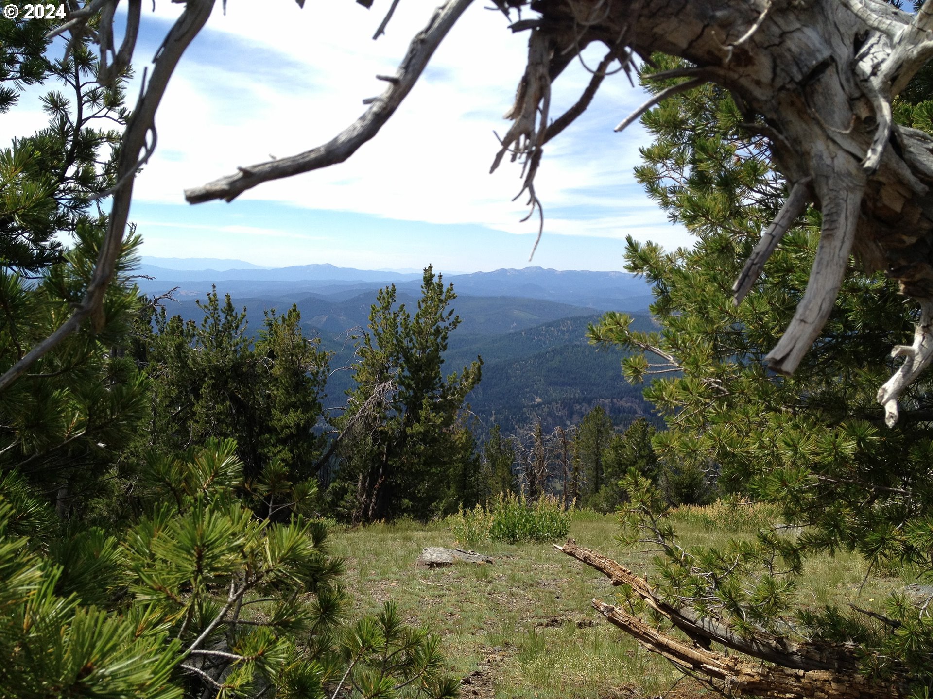
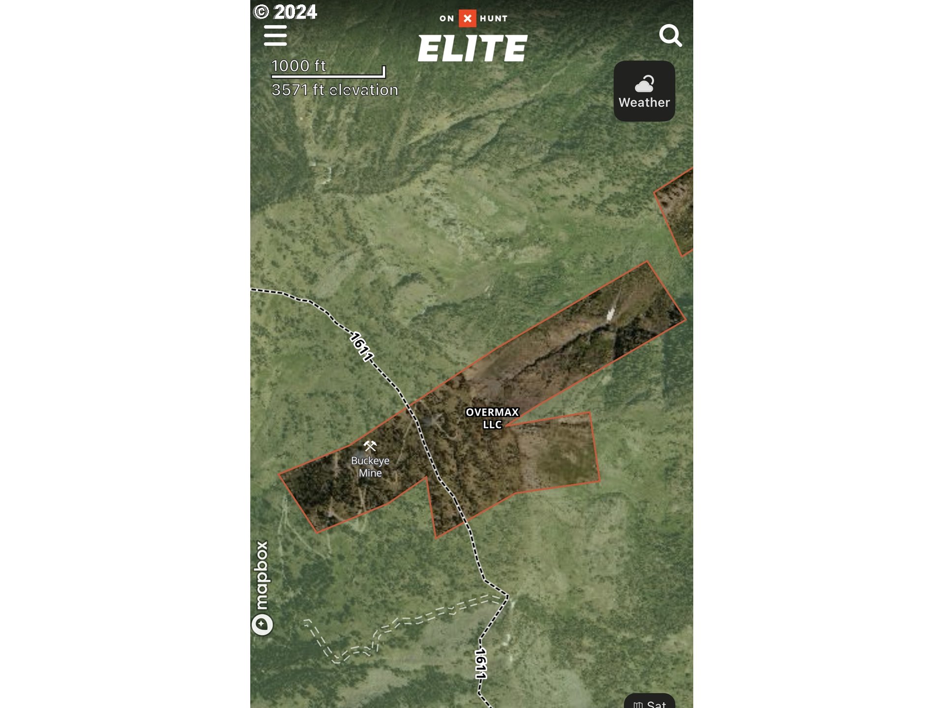
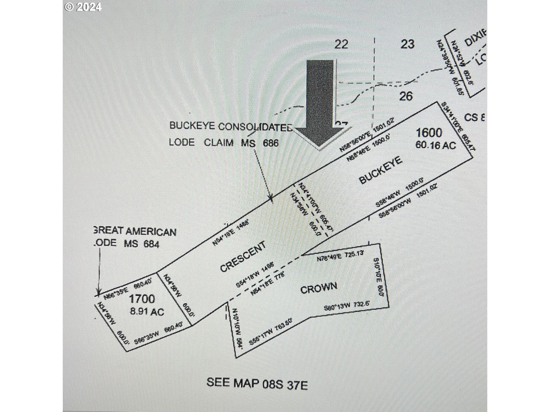
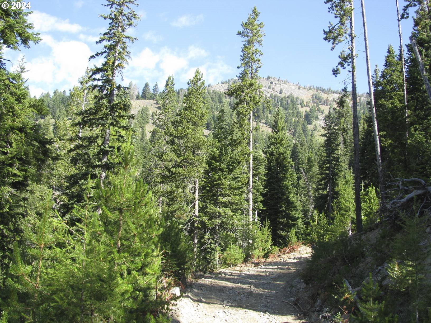
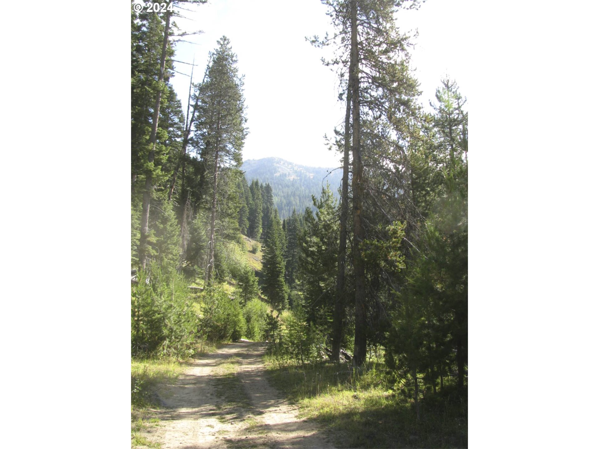
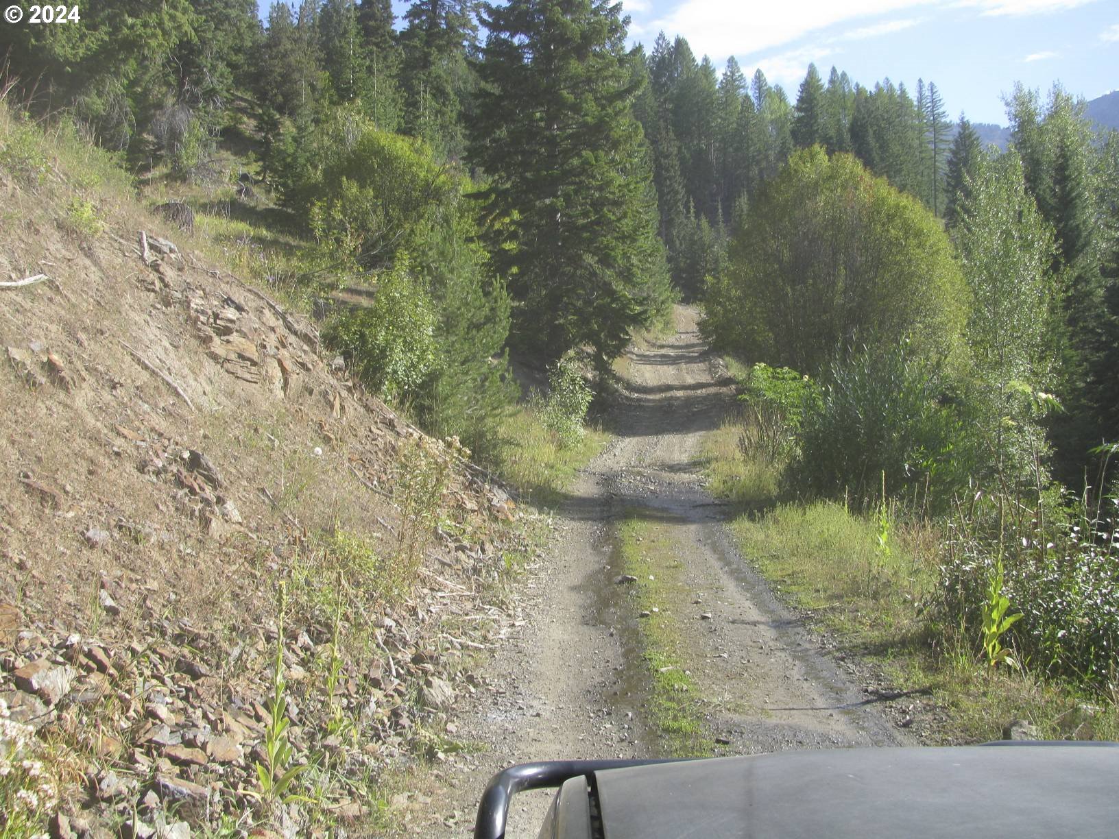
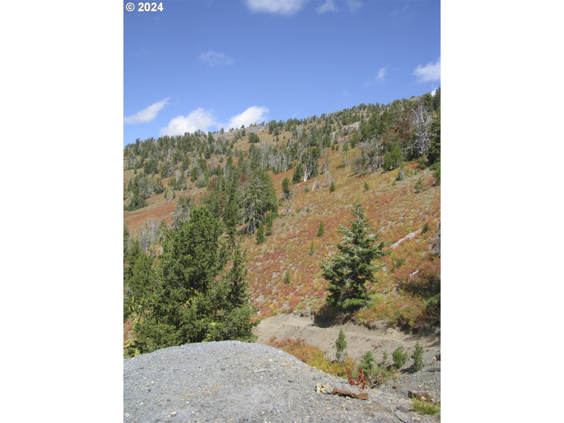
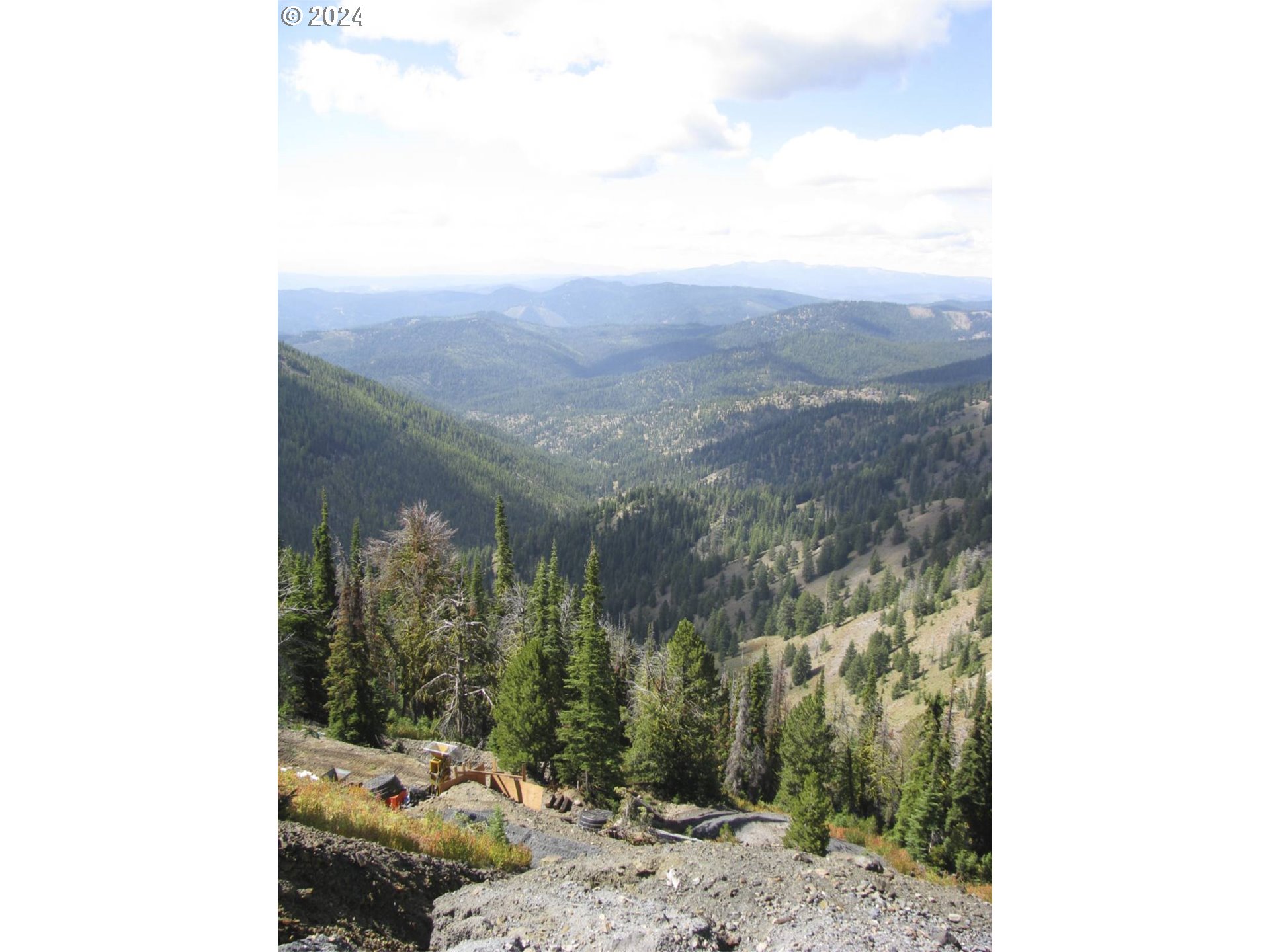
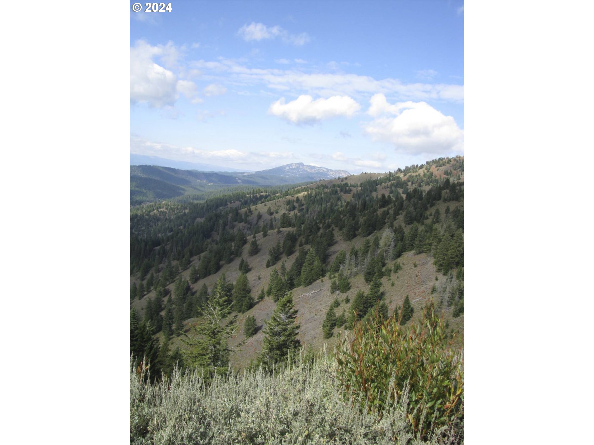
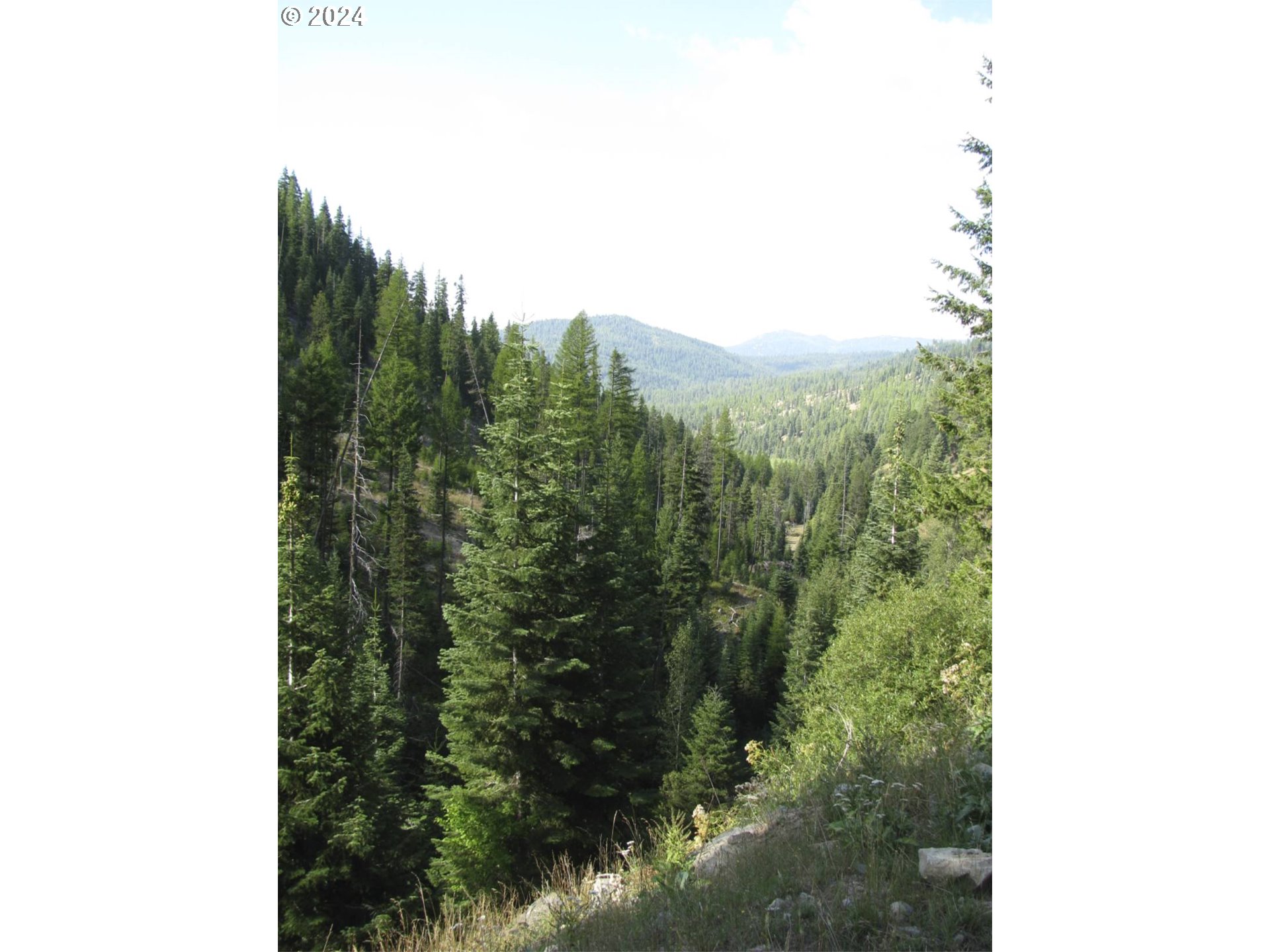
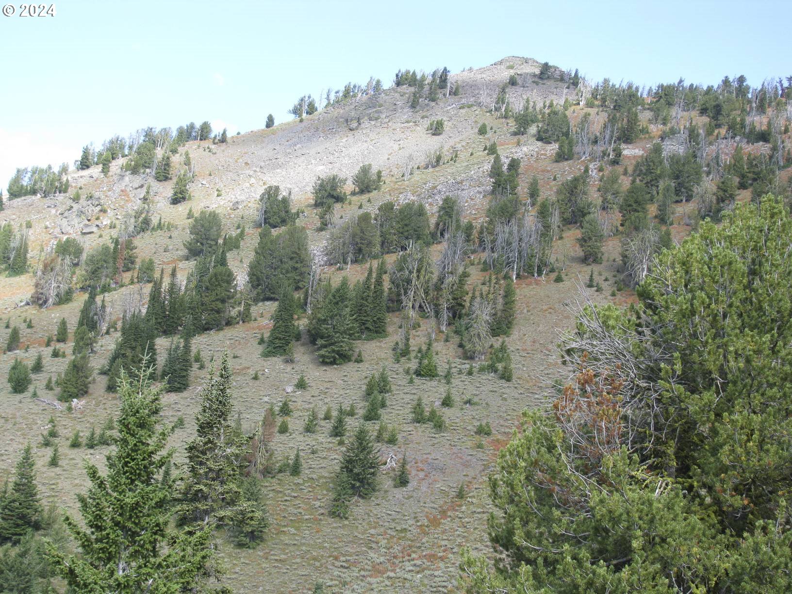
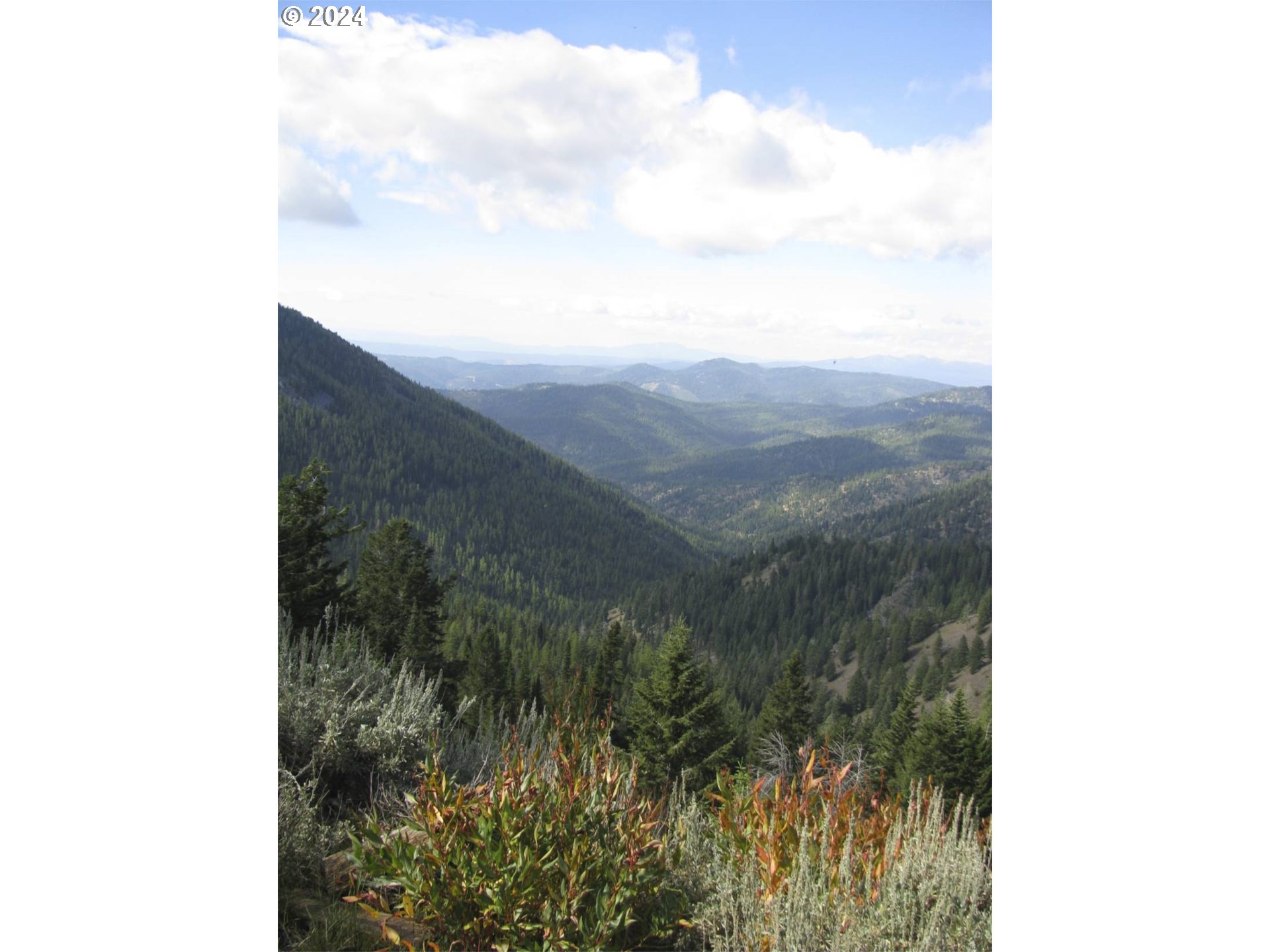
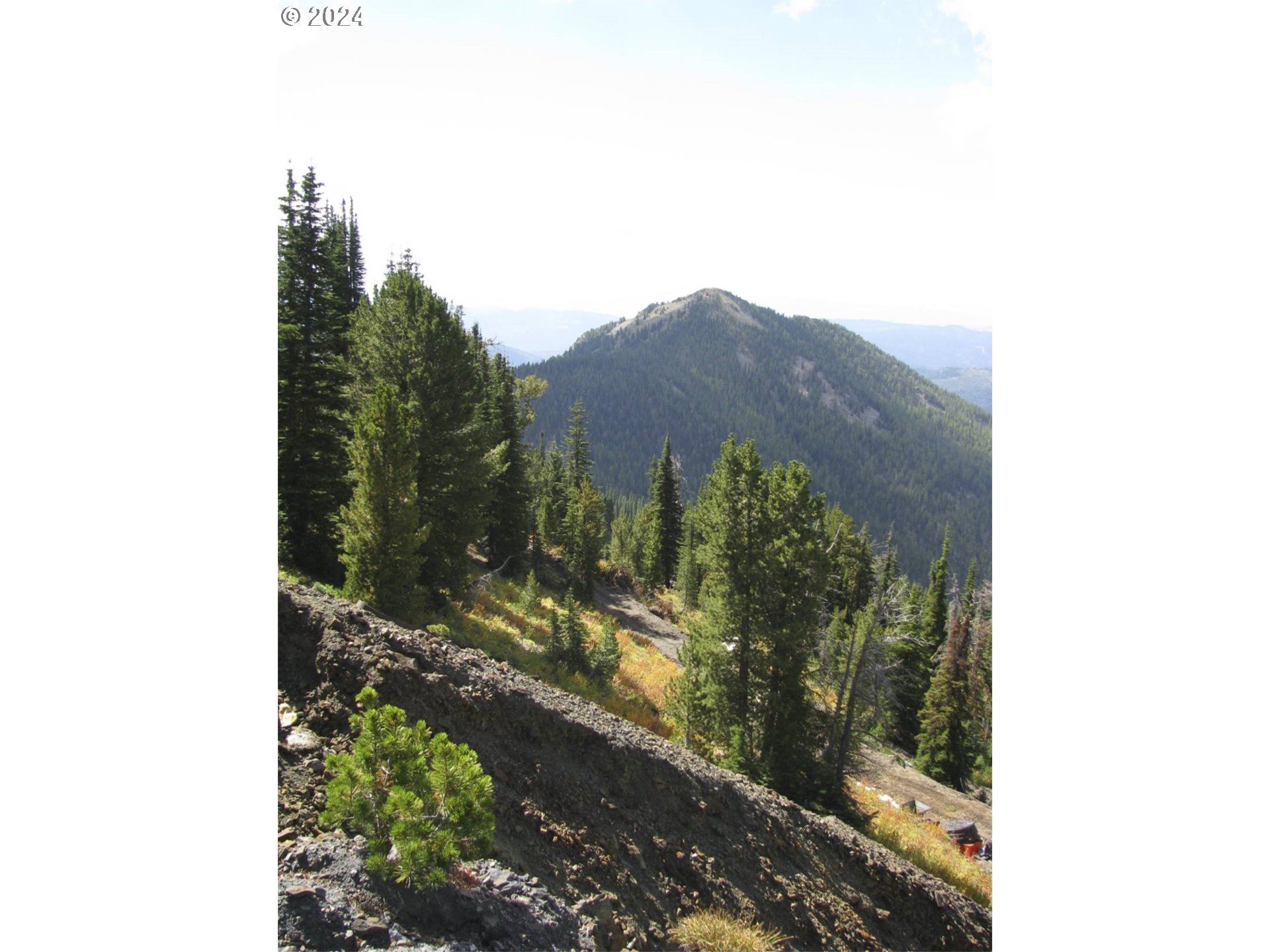
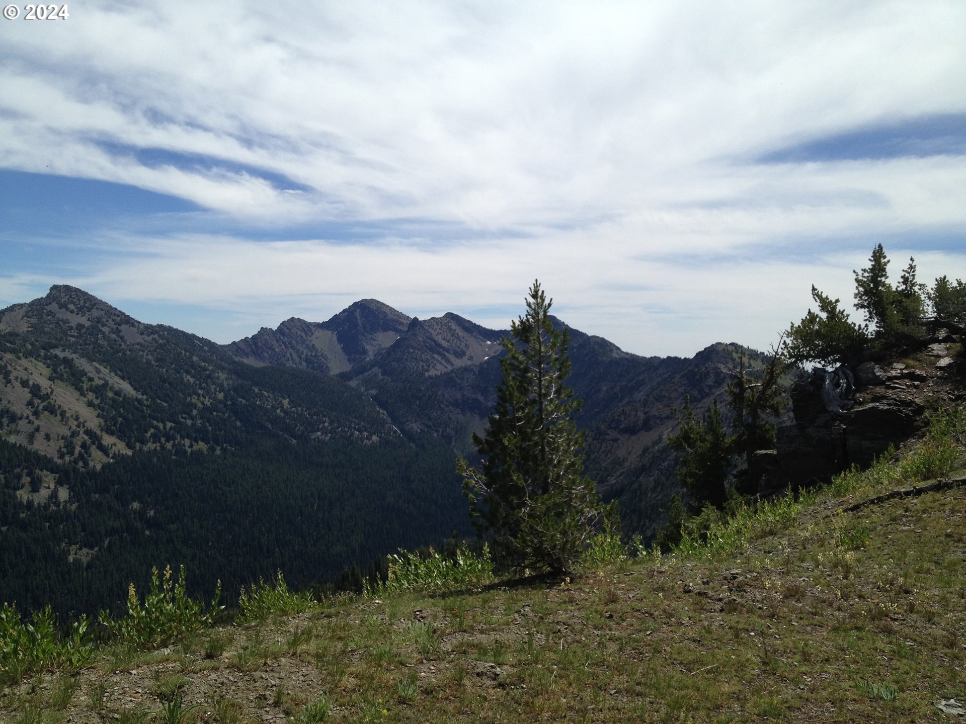
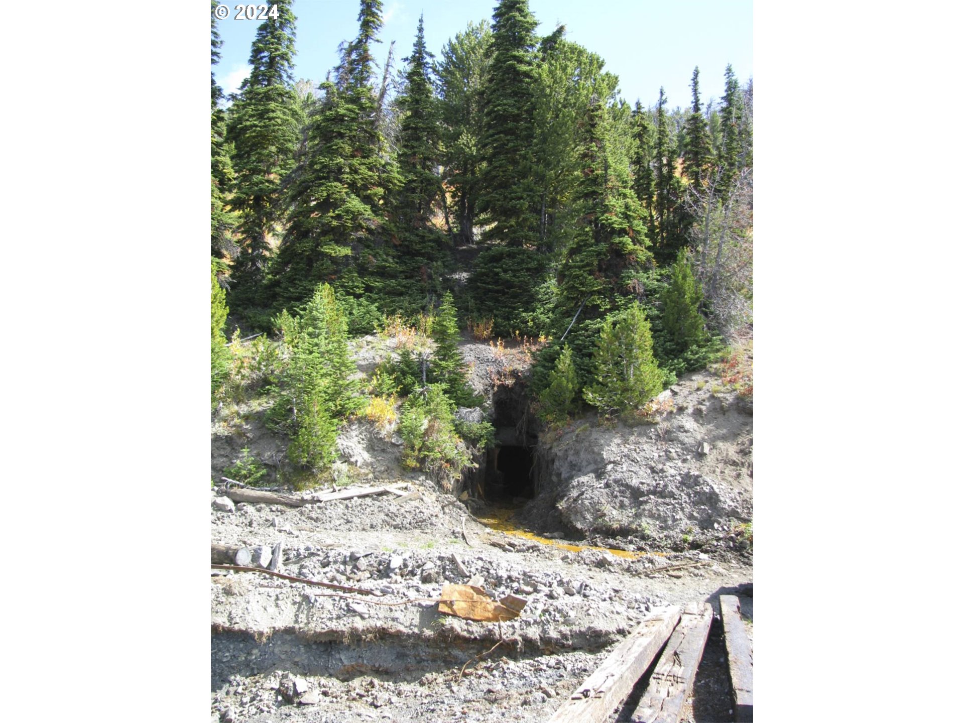
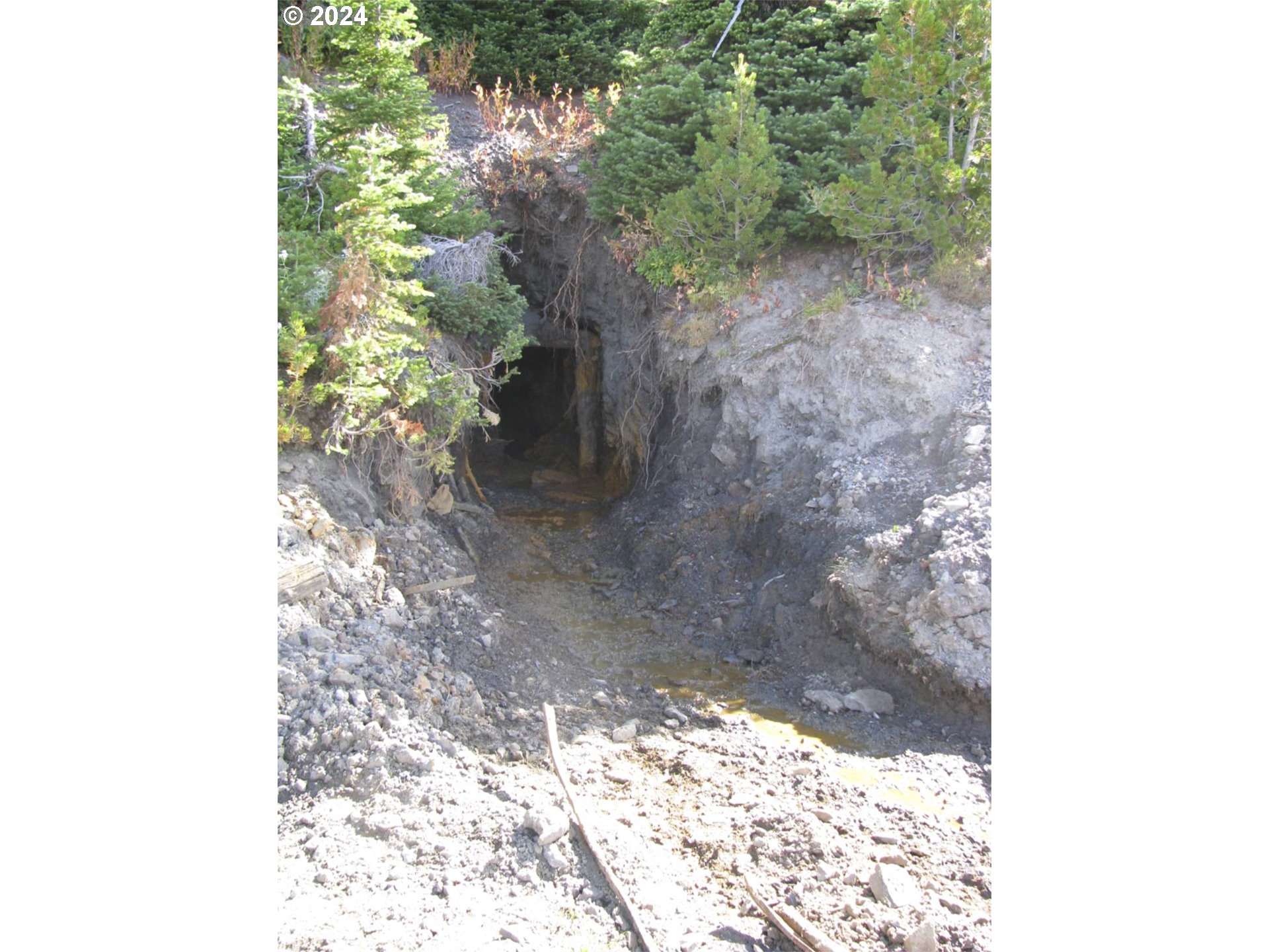
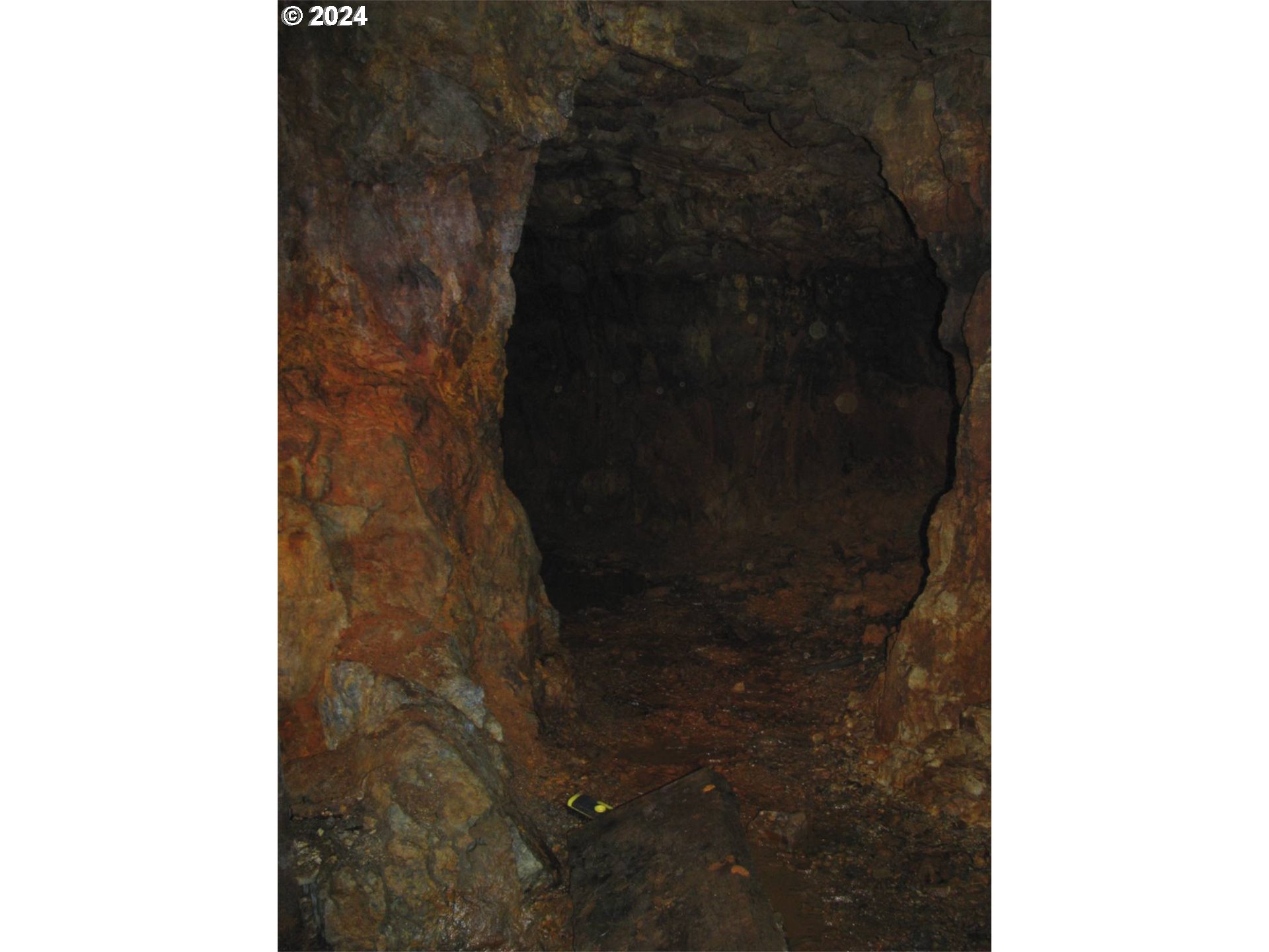
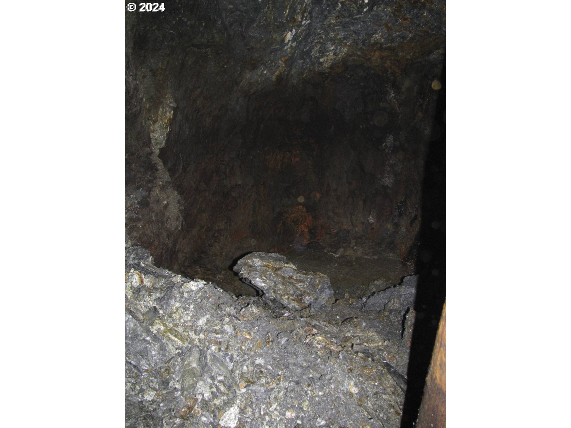
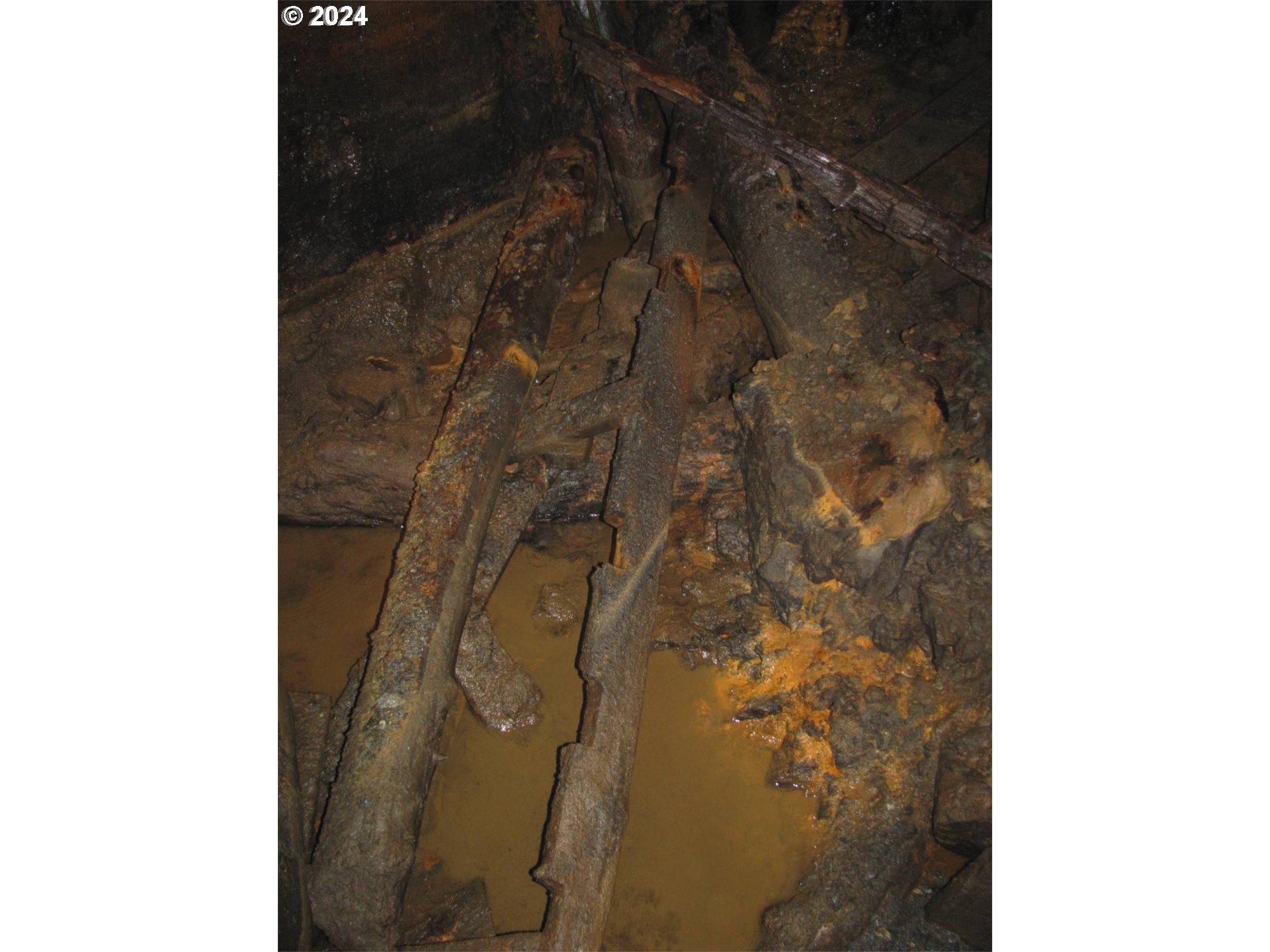
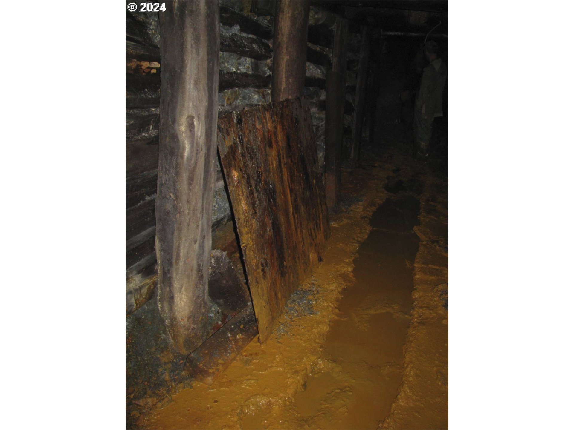
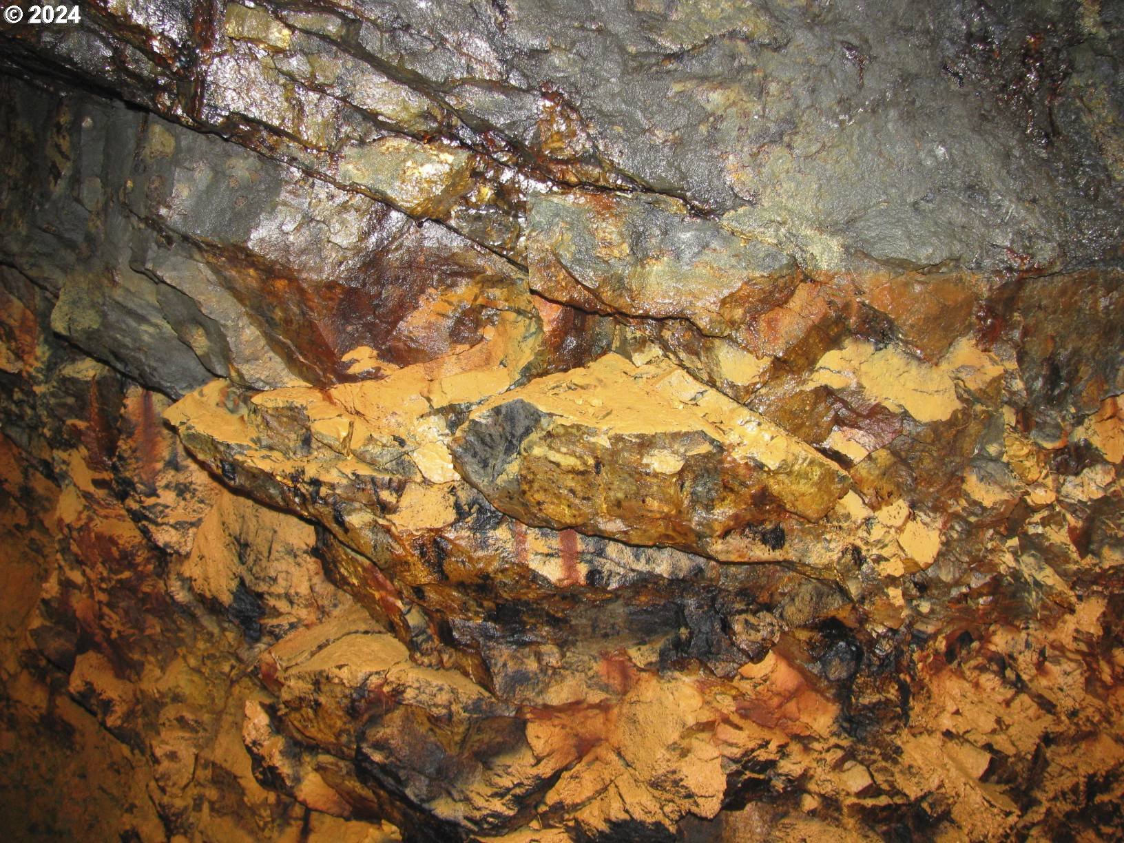
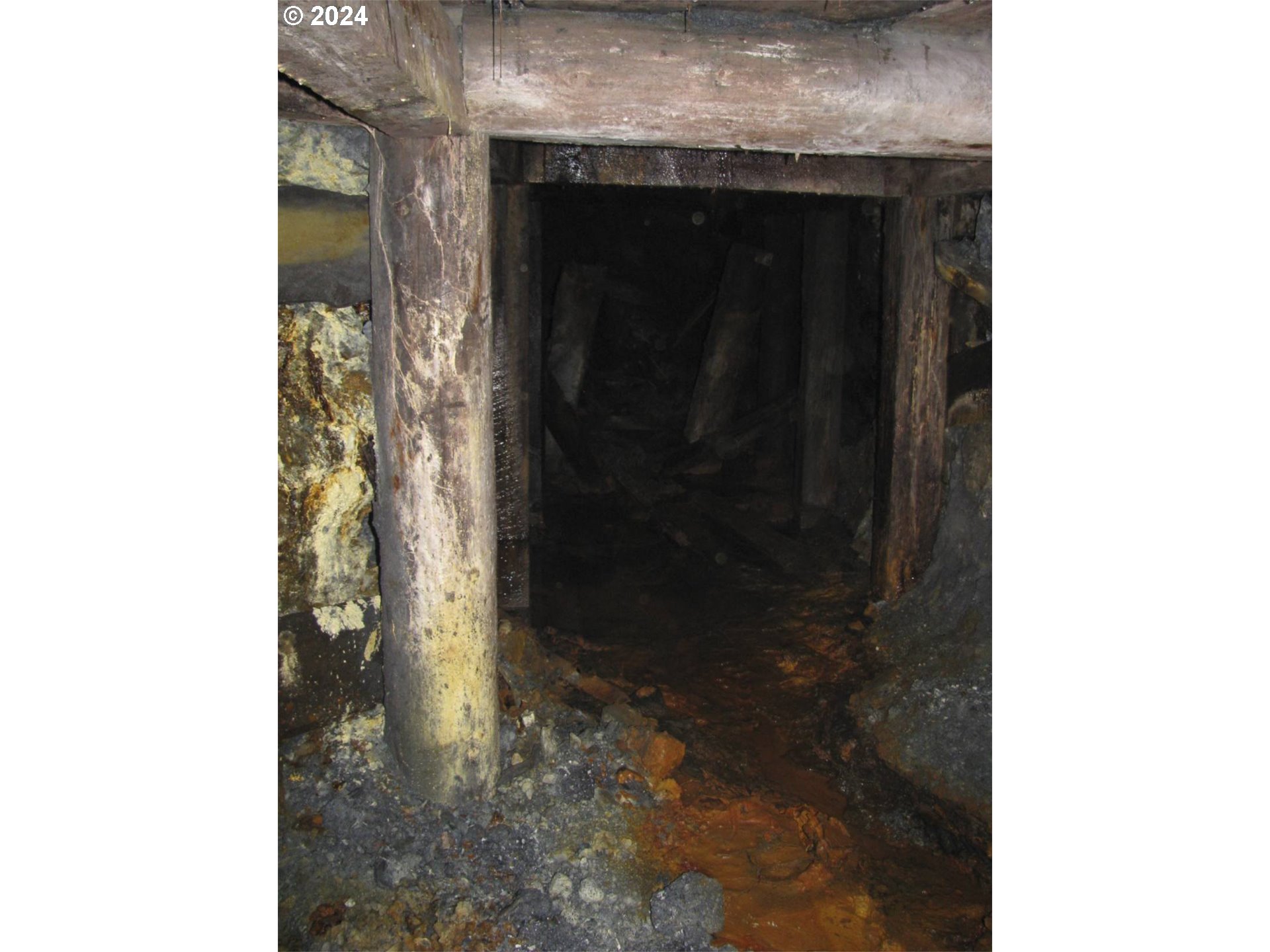
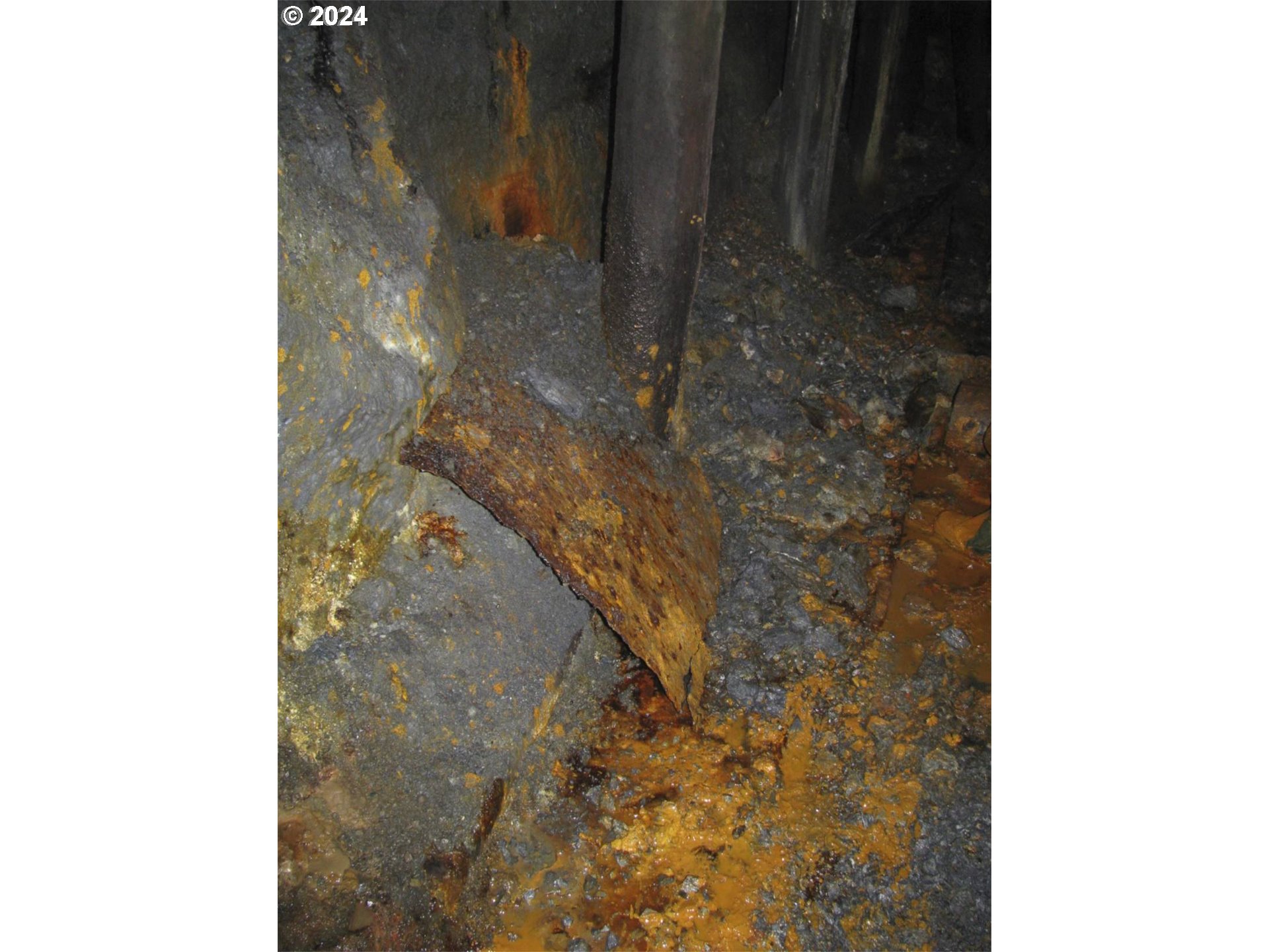
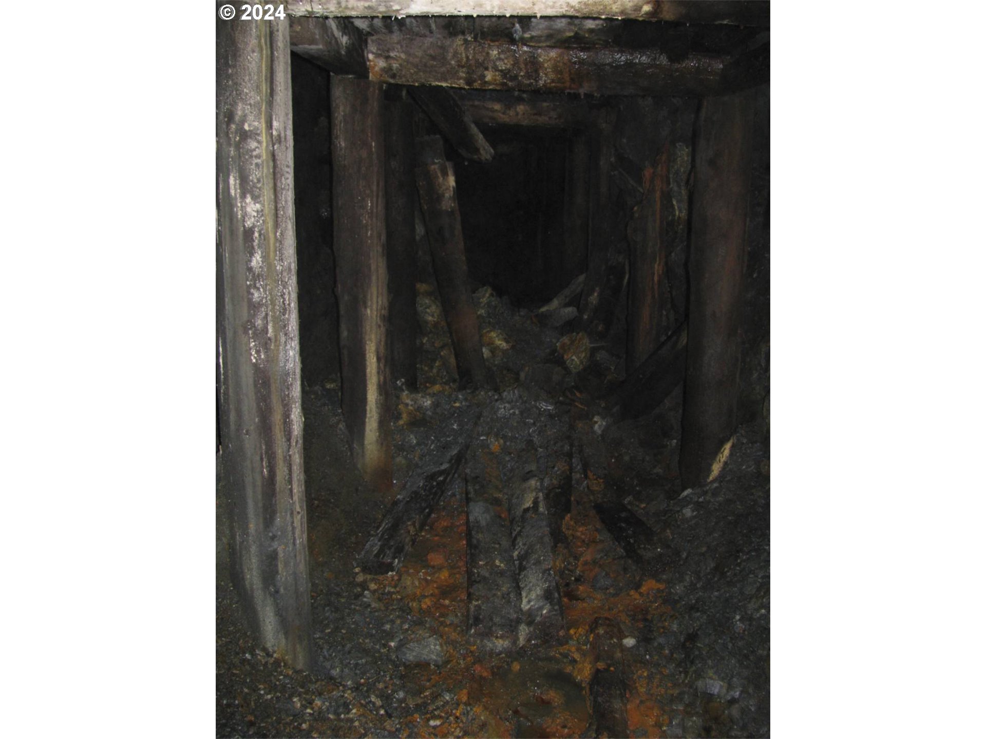
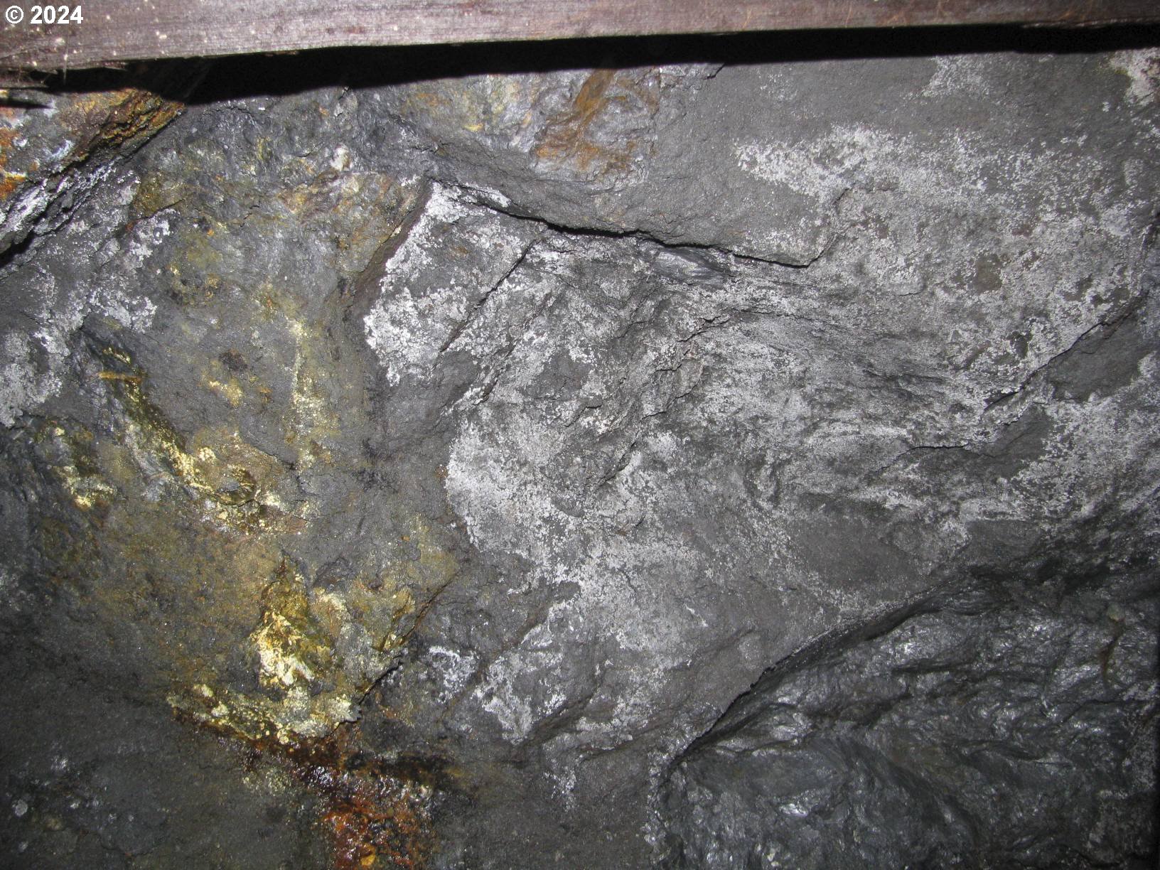
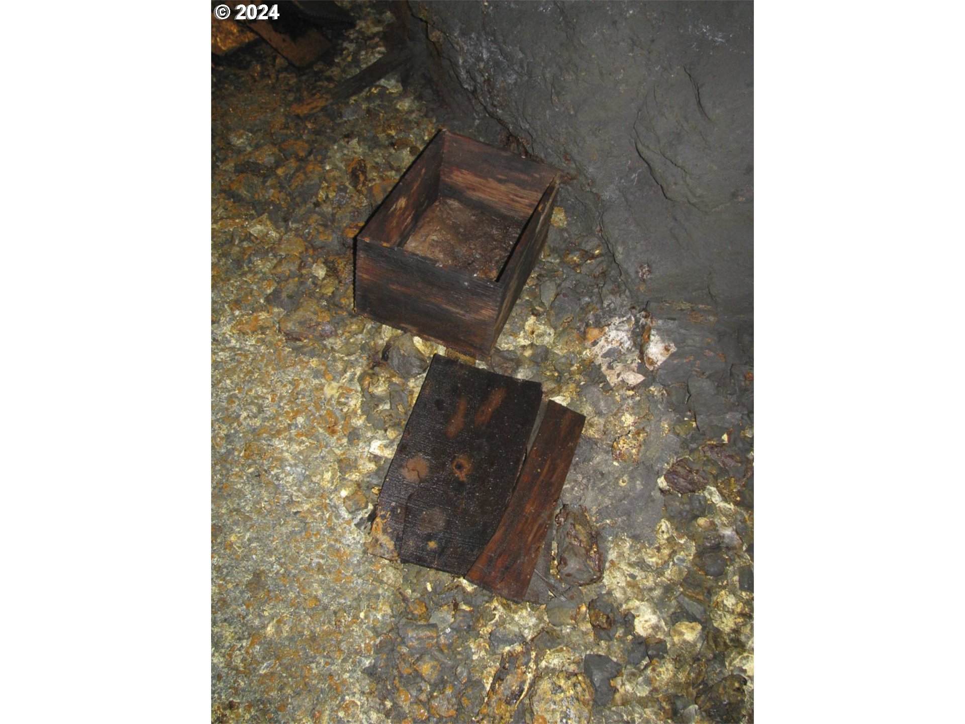
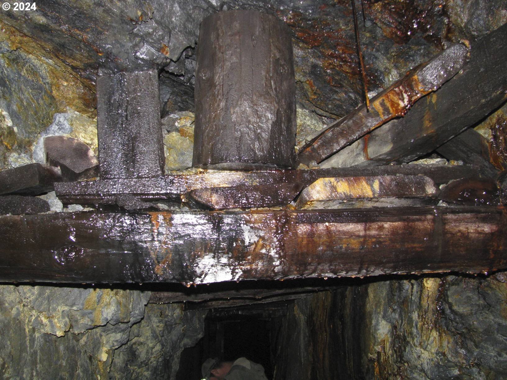
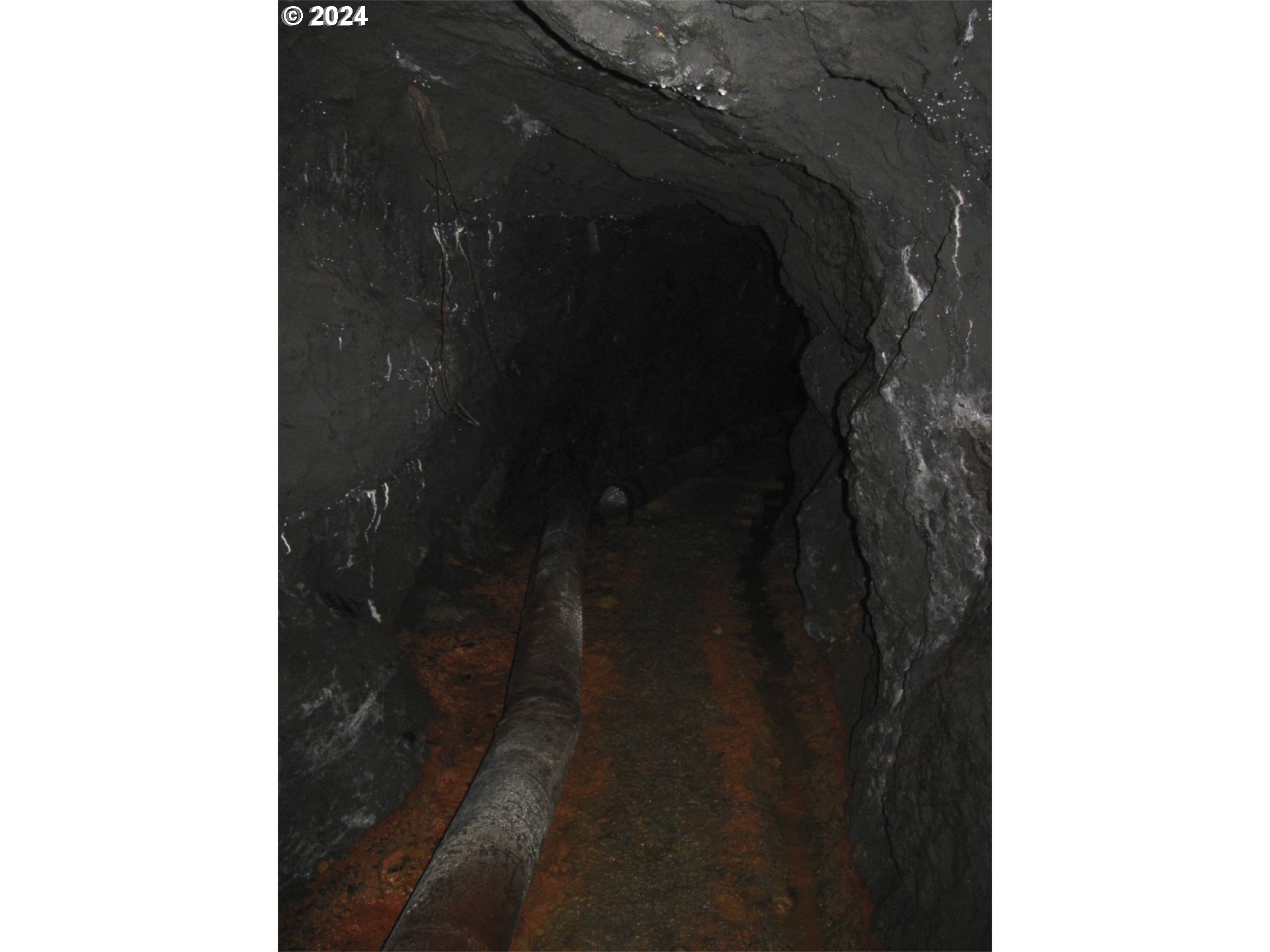
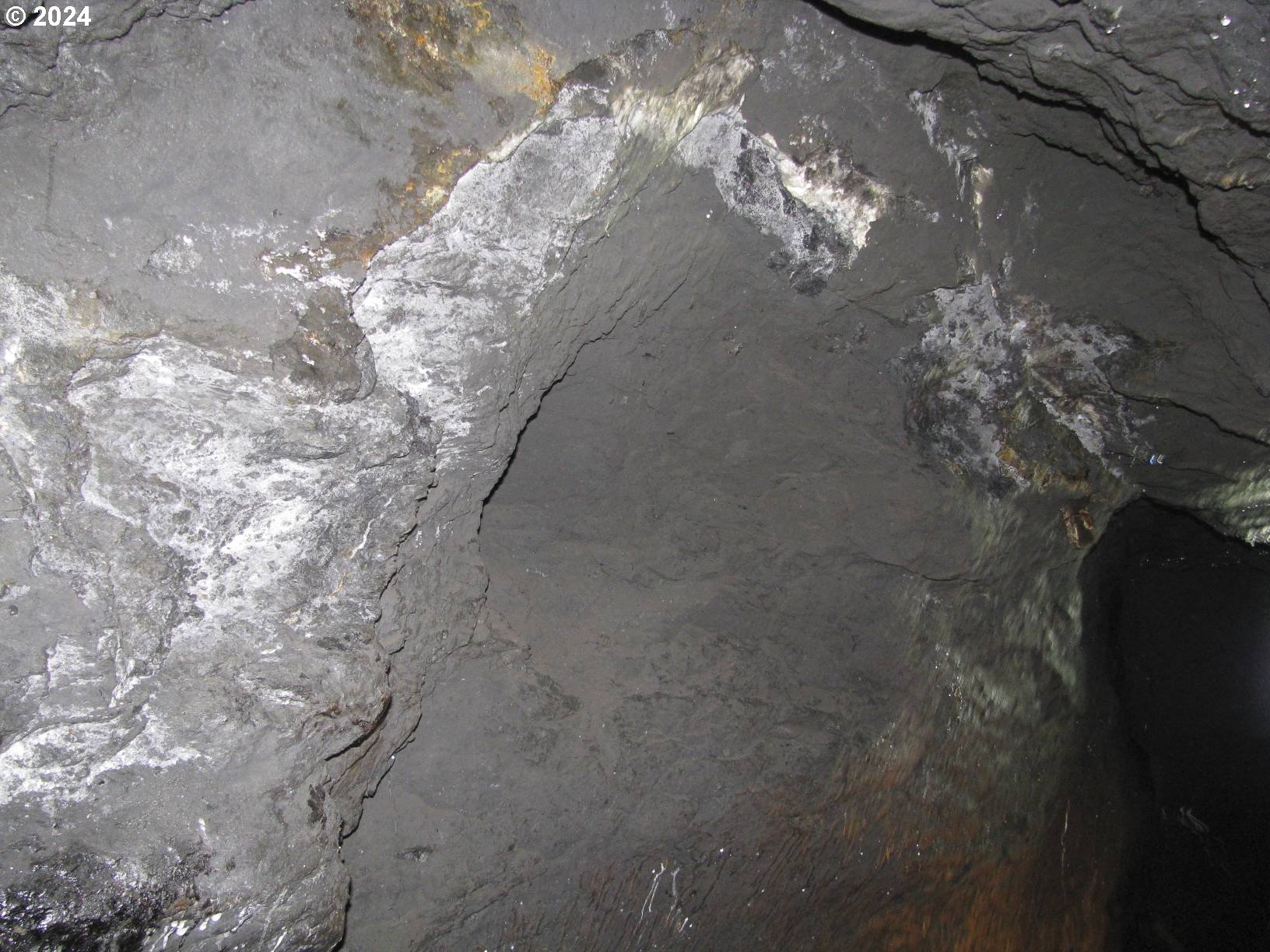
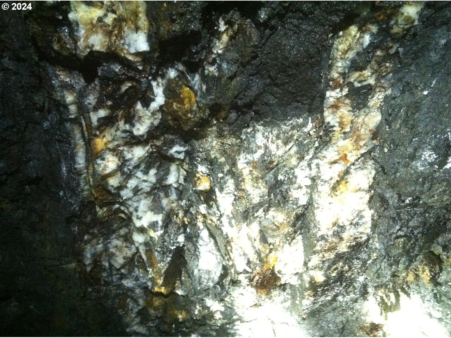
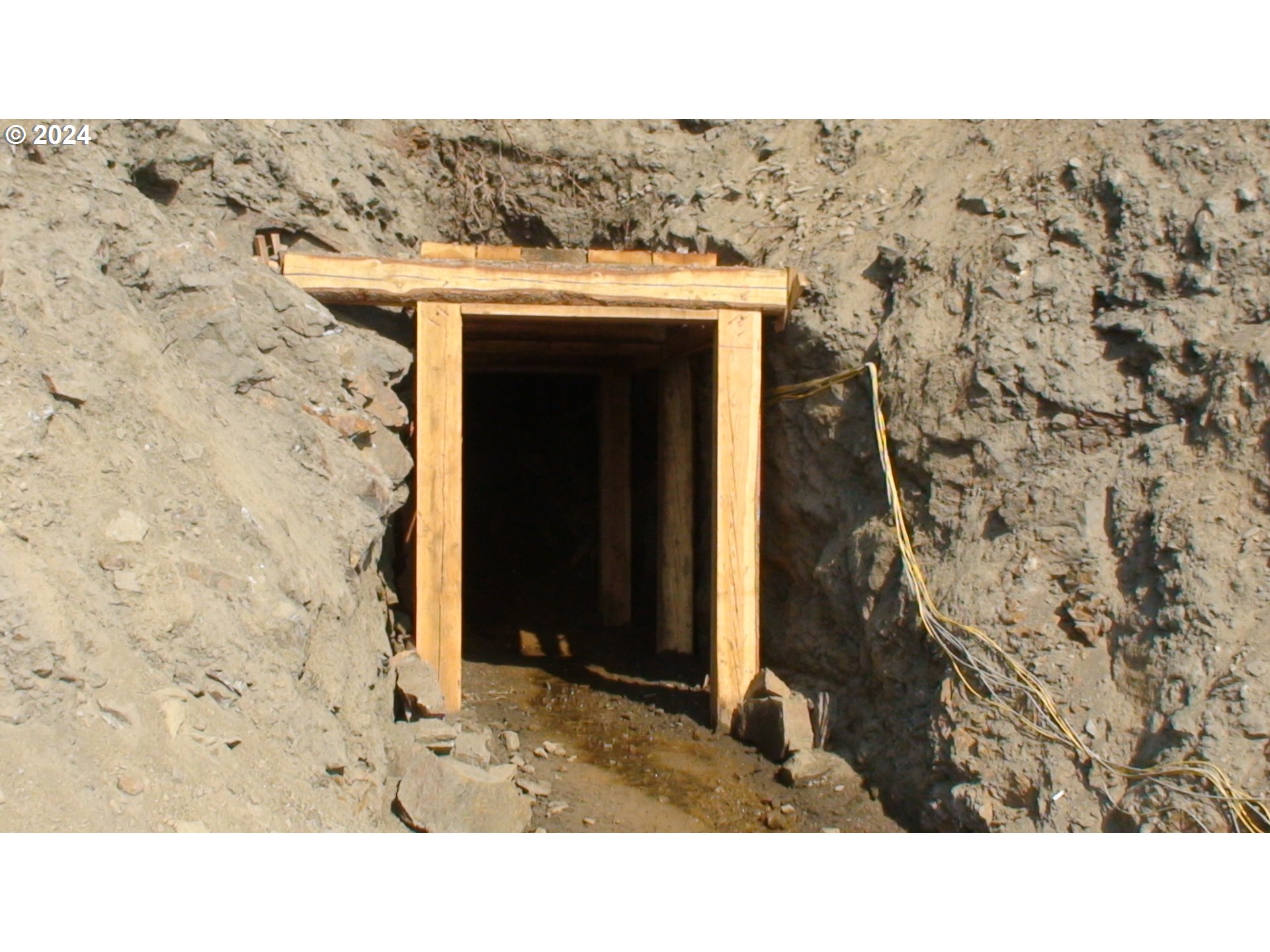
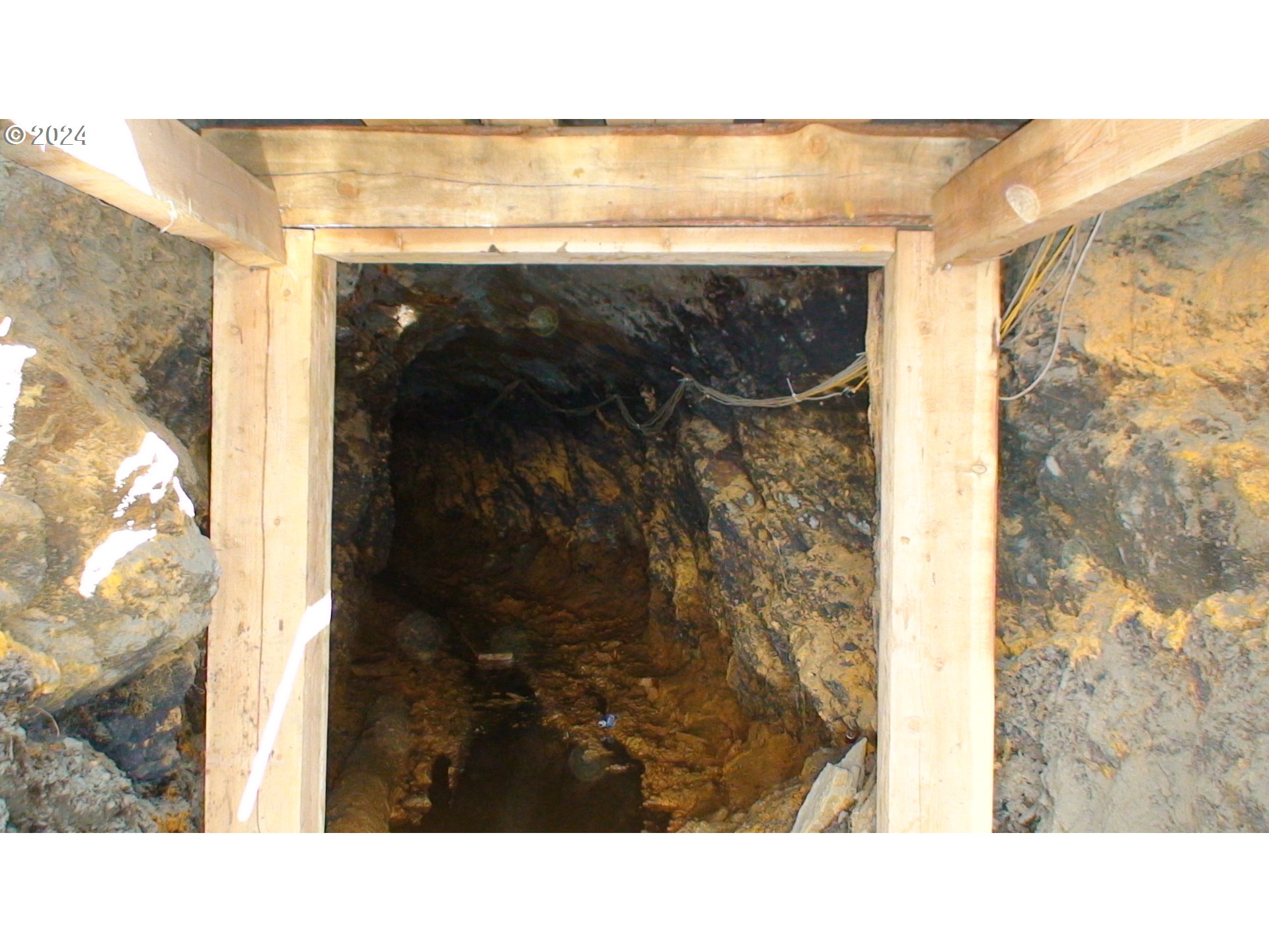
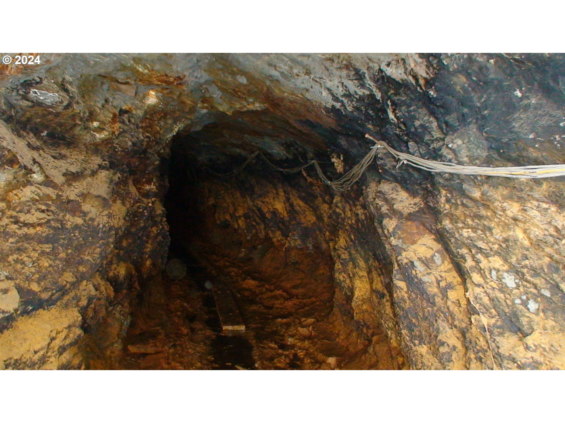
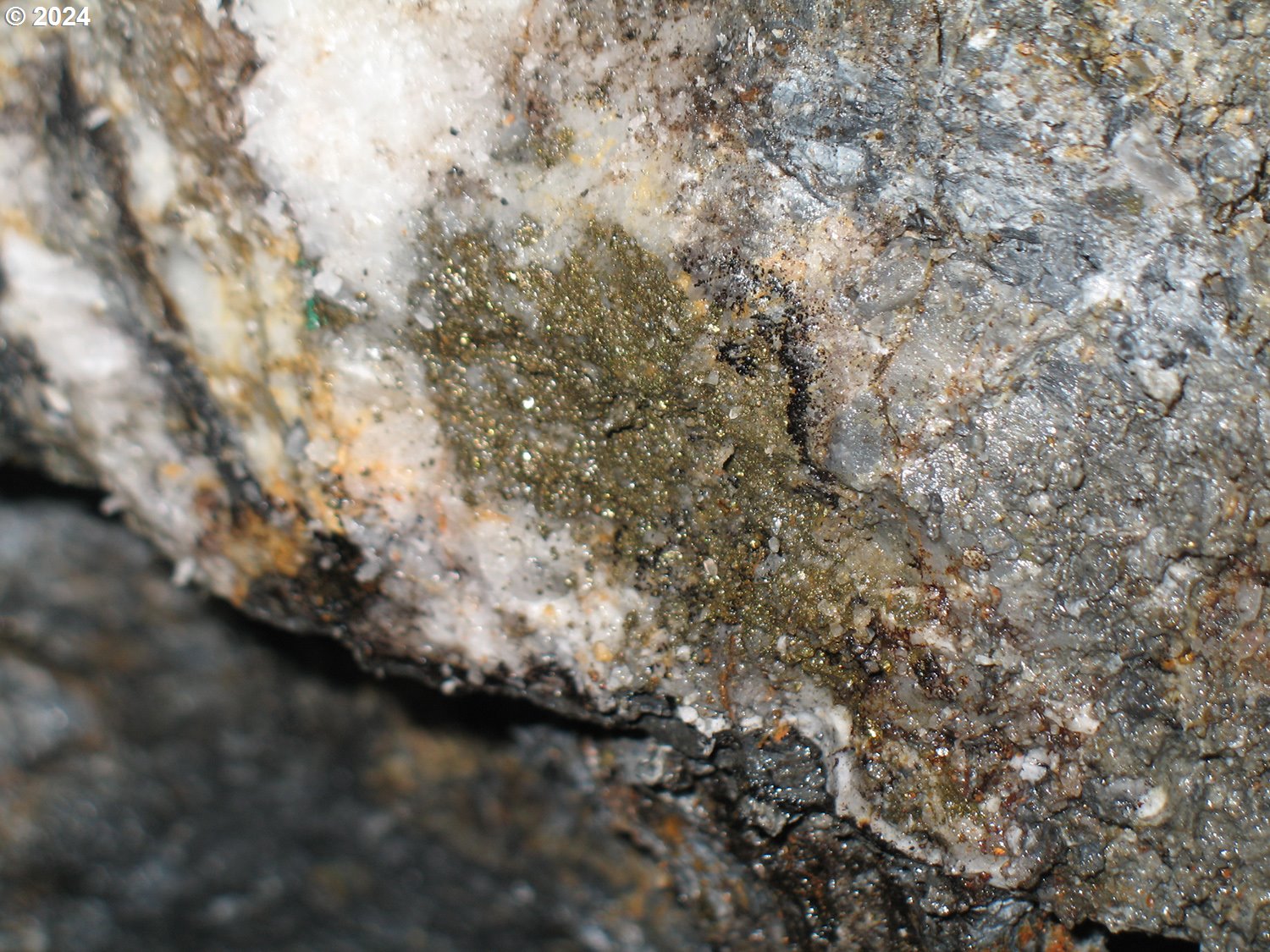
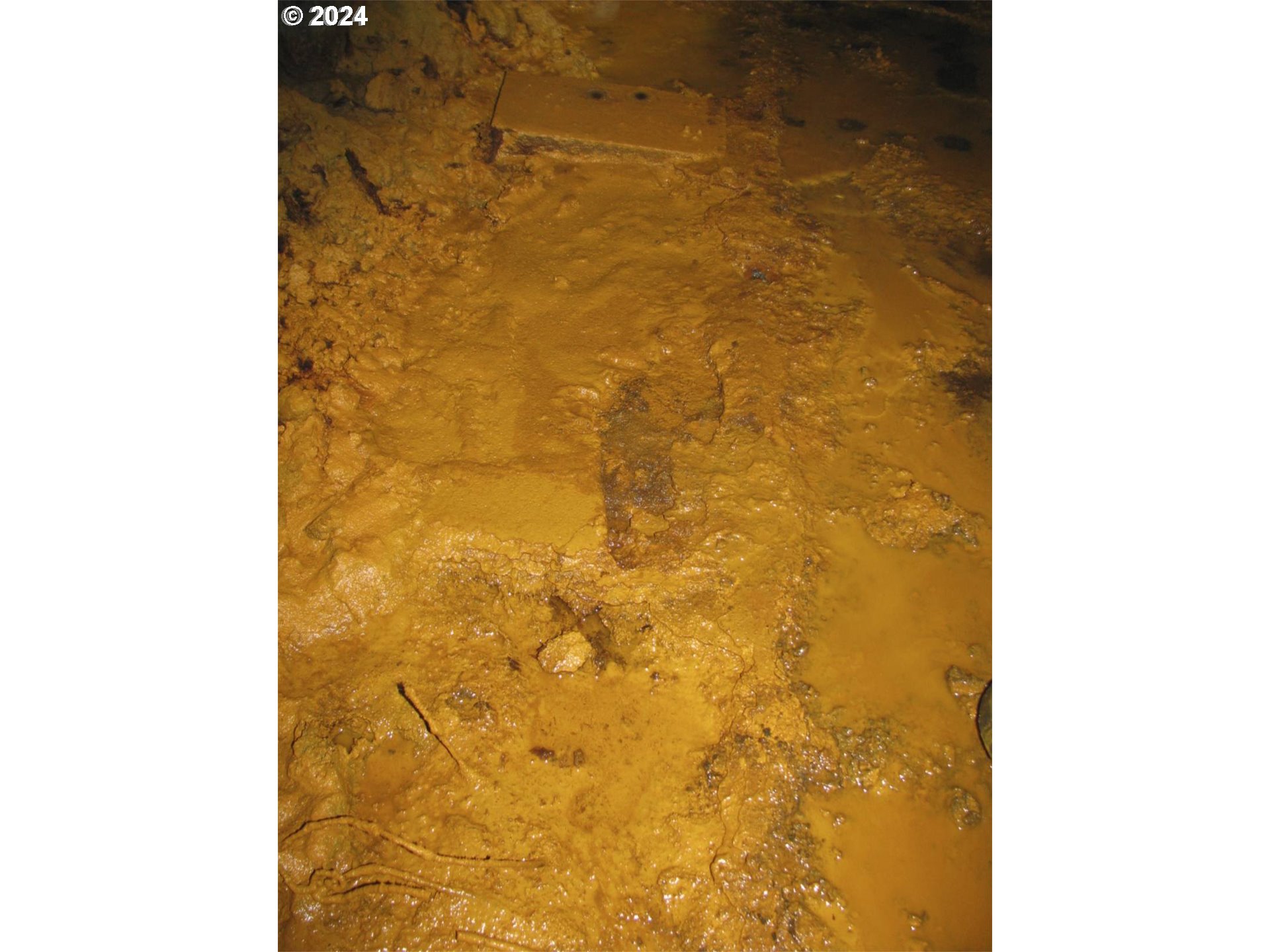
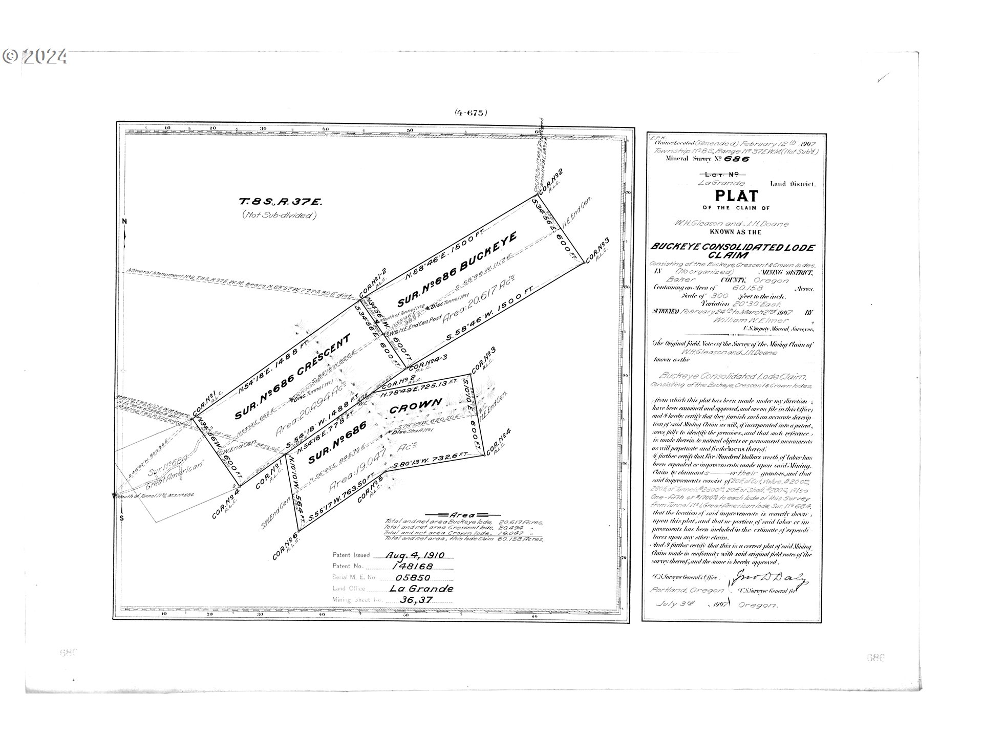
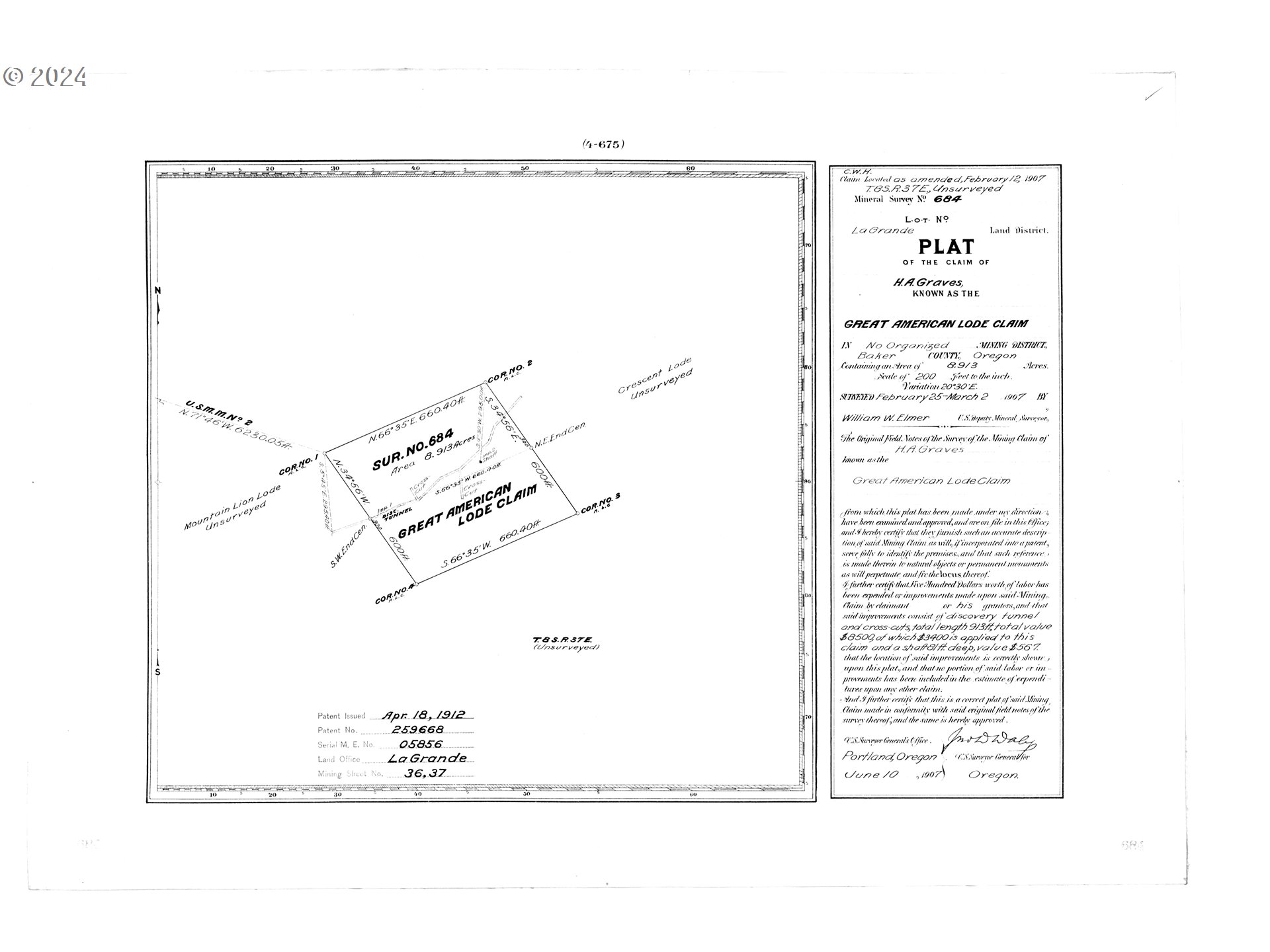
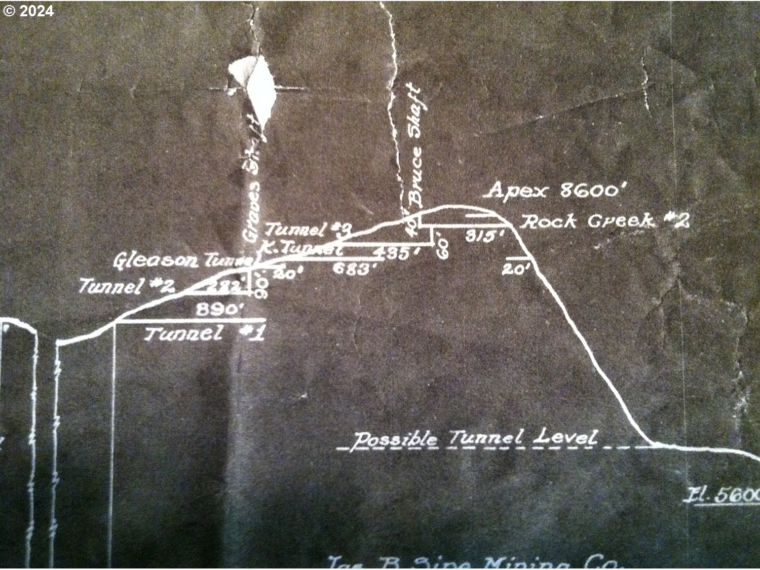
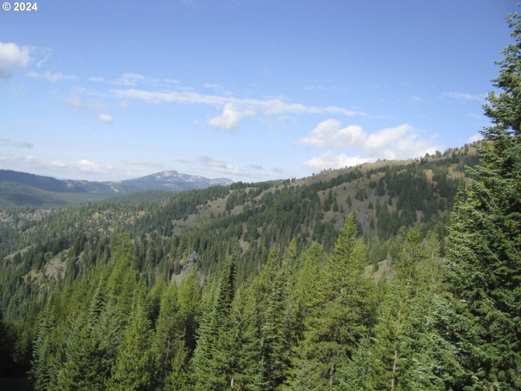
Welcome to a unique opportunity to own a piece of history and nature combined!This expansive 69 +/- acre timberland property is not only a serene and picturesque retreat but also holds a fascinating past with its 4 historical patented mines-The Great American, The Crescent, The Crown, and The Buckeye-some of which are still open to explore. Not only is this piece of property rich with history, but it was also the backdrop for the TV show “Ghost Mine.” Additionally, the property features a pond that was put in in 2010, abundant wildlife, and rolling forested hills, making it perfect for nature enthusiasts, hunters, and those seeking privacy. Don’t miss owning a unique property like this one. For more information, directions, and extensive historical documentation, call today!

Data services provided by IDX Broker

| Price: | 1,500,000 |
| Address: | 08S37 Tl-1600,1700 |
| City: | Sumpter |
| County: | Baker |
| State: | Oregon |
| Zip Code: | 97877 |
| MLS: | 24358834 |
| Acres: | 69.07 |
| Lot Square Feet: | 69.07 acres |
| viewYN: | yes |
| taxYear: | 2025 |
| cCandRYN: | no |
| coolingYN: | no |
| heatingYN: | no |
| utilities: | None |
| currentUse: | Recreational |
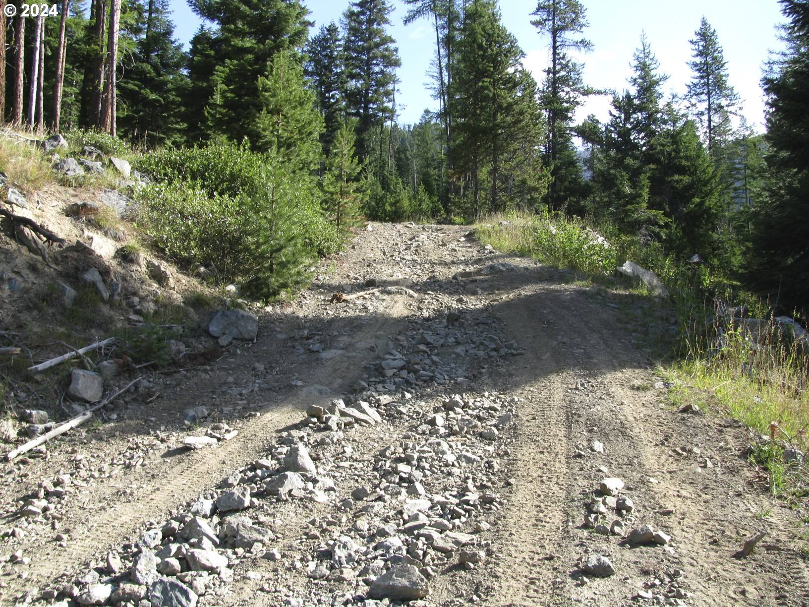
| directions: | Sumpter Hwy, North on Cracker Crk Rd to Bourne, Right on NFD 5505, Right to Buckeye Mine Rd |
| highSchool: | Baker |
| percTestYN: | no |
| bankOwnedYN: | no |
| disclosures: | Disclosure |
| landLeaseYN: | no |
| lotFeatures: | Claim-Mineral Right/Mine, Hilly, Trees, Wooded |
| openHouseYN: | no |
| shortSaleYN: | no |
| availability: | Sale |
| listingTerms: | Call Listing Agent, Cash, Owner Will Carry |
| lotSizeRange: | 50 to 99.99 Acres |
| mlsAreaMajor: | Baker Co: SW - Sumpter/McEwen/Bourne/Phillips Lk/Granite |
| associationYN: | no |
| photosExistYN: | yes |
| soilCondition: | Unknown |
| roadFrontageYN: | yes |
| landDescription: | Gentle Sloping, Level, Sloped, Steep Slope |
| roadSurfaceType: | Dirt, Gravel |
| taxAnnualAmount: | 236.73 |
| viewDescription: | Mountain(s), Trees/Woods, Valley |
| attachedGarageYN: | no |
| elementarySchool: | South Baker |
| opportunityZoneYN: | no |
| propertyAttachedYN: | no |
| waterfrontFeatures: | Other |
| listAgentKeyNumeric: | 105402 |
| existingStructuresYN: | no |
| greenCertificationYN: | no |
| middleOrJuniorSchool: | Baker |
| thirdPartyApprovalYN: | no |
| currentPriceForStatus: | 1500000 |
| auxiliaryDwellingUnitYN: | no |
| internetAddressDisplayYN: | yes |
| manufacturedHomeAllowedYN: | no |
| virtualTourUrlUnbrandedYN: | no |
| virtualTourUrlUnbranded2YN: | no |
| virtualTourUrlUnbranded3YN: | no |
| propertyRecordUpdateTimestamp: | 2025-12-31T01:14:01+00:00 |